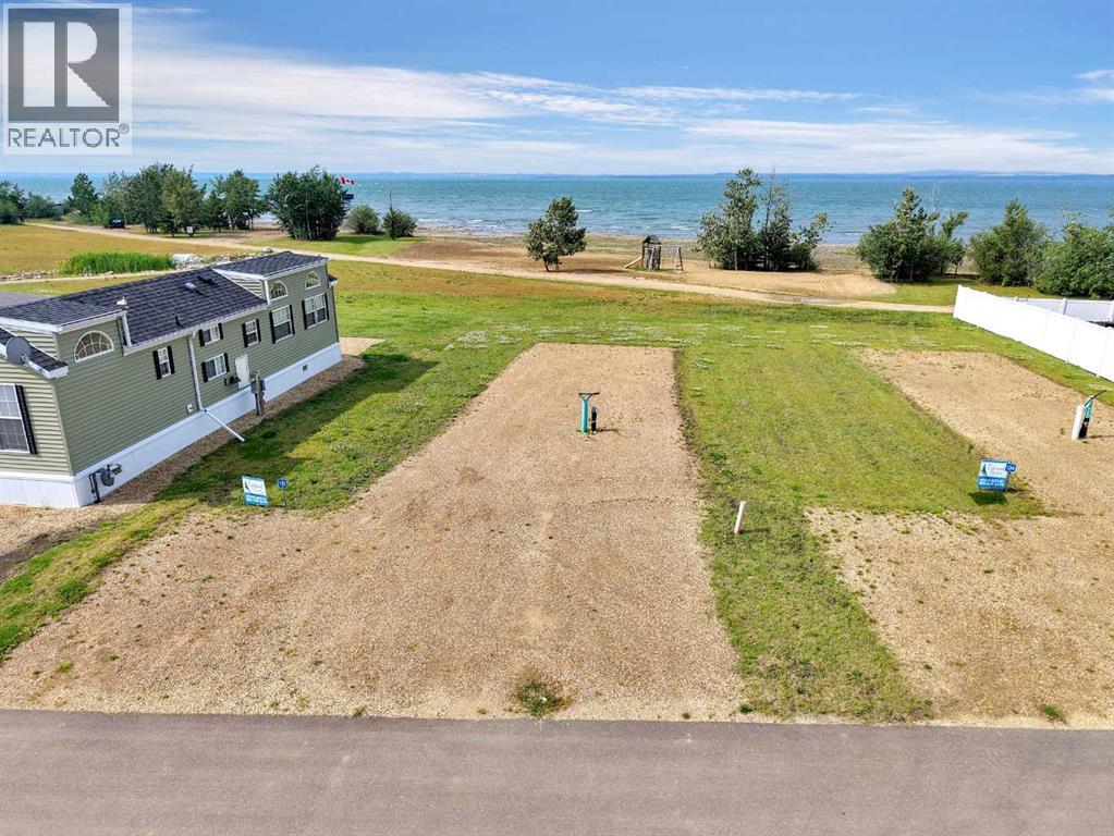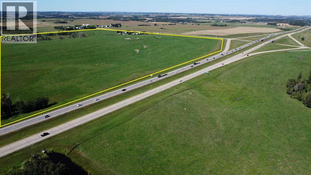
Vacant Land opportunity
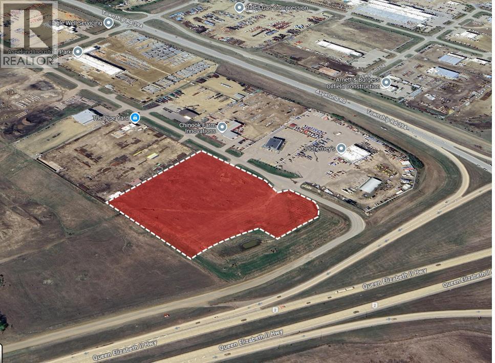
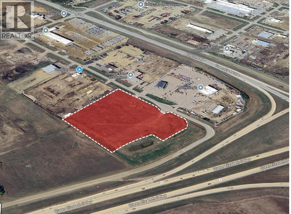
QE2 and 604 Highway
Live Commercial Inventory
52 active land listings currently returned by the authorized Alberta commercial feed.
Current page scope
This page includes records whose feed fields identify the property type as Vacant Land, the locality as Rural Lacombe County, and the province as Alberta. Commercially presents the public market name as Lacombe County. It does not represent completed sales, vacancy, absorption or valuation evidence.

QE2 and 604 Highway

72, 27323 Township Road 394

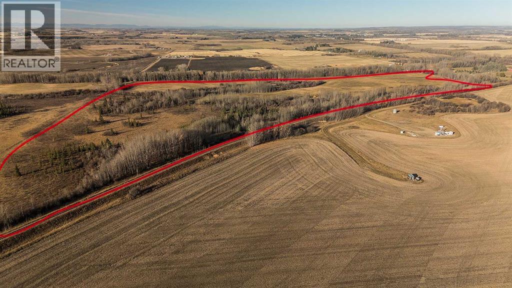
391500 RANGE ROAD 30

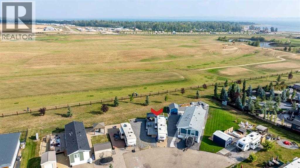
115, 41019 Range Road 11

72, 27323 Township Road 394

135, 41310 Range Road 282
Property-specific questions
Carry each unresolved item into the search, offer, diligence and professional-review plan.
Locate the parcel in the current municipal, intermunicipal and area-plan hierarchy without treating long-range direction as existing approval.
Identify current district rules plus any highway-oriented, commercial, industrial, landscaping, screening, access or design requirements.
Test water, wastewater, drainage, utilities, fire protection and required land area before comparing price per gross acre.
Separate subdivision, redesignation, development permit, appeal, building, business and Safety Codes requirements in the project schedule.
Local decision resources
Evaluation Framework
Listing data begins the review. Intended use, physical condition, approvals and commercial terms require independent verification.
Lacombe County decision context
Lacombe County's exact-feed inventory is led by vacant land and includes agricultural, industrial and business-opportunity records. The County's growth strategy, highway-oriented business areas and agricultural base create materially different site contexts; the public locality label does not establish current zoning, subdivision, access, utilities or development readiness.
Lacombe County identifies Municipal Development Plan Bylaw 1238/17 as its main planning document and Land Use Bylaw 1237/17 as the rules governing individual property use and development. Both published documents were updated April 9, 2026, and the County states that it reviews the MDP and LUB annually.
For land property, apply this municipal record to land-use designation, servicing and access, environmental history, development timing. Each conclusion remains parcel- and use-specific.
Municipal verification
Confirm each item against the current official record and qualified professional work.
Identify the legal parcel and read the current Municipal Development Plan, applicable intermunicipal or area plan, Land Use Bylaw, district map and amendments. A long-range growth designation or nearby commercial development does not establish current use approval for the subject parcel.
Determine whether a site sits in a multi-lot commercial or industrial area along a highway or County main road. The County publishes site-development guidelines addressing architectural, landscaping and screening expectations; the exact plan area and current approval record control the analysis.
The County distinguishes a development permit—what and where development may proceed—from a building permit—how a structure meets building requirements. A property may also require business, Safety Codes, environmental, access or utility approvals.
Verify title, subdivision, access and road authority, water, wastewater, stormwater, utilities, fire protection, drainage, environmental conditions and off-site obligations. Compare gross area with setbacks, rights-of-way, natural features, servicing areas and the resulting net developable site.
Primary municipal sources
Editorial owner: Commercially Research & Editorial
Commercial review: Slav Loban
Review and corrections standard →Act on the market
Submit a land requirement for Lacombe County. The buyer link carries this market and originating page into the editable form. Owners can separately request a confidential property review.
Submit a requirement Discuss a property