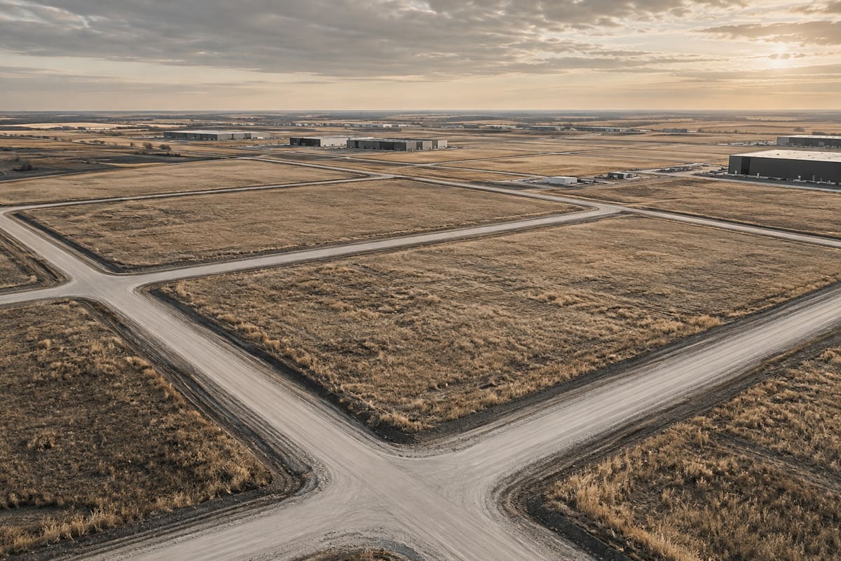
Development-land diligence is the process of turning a marketed opportunity into a controlled record of verified facts, professional conclusions, authority decisions and unresolved risks. The work should be organized by legal parcel and intended project—not by the seller's folder structure or a generic checklist.
This is general information, not legal, tax, environmental, engineering, accounting or investment advice. Obtain advice specific to the property and transaction.
1. Create a parcel and issue register
List every legal parcel, owner, title, plan, area, municipal address, tax roll and included right. Build one issue register showing question, source, responsible reviewer, required evidence, deadline, status and transaction consequence.
Separate seller statements, public records, professional reports, municipal correspondence and formal decisions. A clean index should make contradictions visible rather than blending them into one narrative.
- Parcel
- Issue
- Source
- Reviewer
- Evidence required
- Deadline
- Decision
2. Review title, plans and physical occupation
Have counsel review current and historical title evidence and registered instruments. Have the appropriate survey professional reconcile parcel boundaries, roads, easements, rights of way, encroachments, occupations and proposed development geometry.
A legal plan can define boundaries while a separate instrument creates a right. Review both the mapped location and the operative document before assuming access, utility or construction rights.
3. Audit policy, zoning and approvals
Build a dated hierarchy of regional, intermunicipal, municipal, area and parcel-level planning records. Record current district, defined use, permitted or discretionary status, regulations, overlays, direct controls and applicable approvals.
For every concept, application or decision, state author, parcel scope, submission date, status, conditions, appeal period, expiry and whether it has been implemented. A pre-application meeting or supportive comment is not approval.
4. Test yield rather than copying it
Reconcile gross titled area to roads, reserves, easements, environmental features, setbacks, stormwater, utilities, grading and usable development blocks. Ask the planning, civil, transportation, survey and environmental team to identify the assumptions behind net developable area and yield.
Keep current permission, a code-compliant concept and a market-feasible program separate. Density or floor area in a concept does not prove saleable area, construction feasibility or absorption.
5. Verify access, utilities and civil assumptions
Obtain road and access records, utility locations, capacity evidence, studies, development agreements, levy schedules, cost-sharing arrangements, engineering estimates and security requirements. Identify who must build, approve, fund and maintain each item.
Confirm whether off-site infrastructure must precede the project, whether oversizing is required and whether any recovery is contractual, statutory, discretionary or merely expected. Use current written evidence rather than proximity.
6. Coordinate environment, geotechnical and water work
Search current provincial records and historic uses, then scope Phase I or further environmental work through qualified professionals. Coordinate geotechnical, groundwater, wetlands, drainage, flood, fill, erosion, waterbody, abandoned-well and resource-interface review.
The disciplines interact: a wetland, unsuitable soil, contaminated fill, high groundwater or abandoned well can change layout, approvals, earthworks, stormwater and lender requirements. Preserve report reliance and update requirements.
7. Review neighbouring and regional constraints
Map adjacent uses, statutory plans, transportation corridors, utilities, pipelines, rail, waste facilities, wastewater facilities, water bodies, resource approvals and other referral triggers. Alberta's subdivision-appeal guidance identifies several distances and provincial interests that can alter the appeal authority.
A nearby project can be a comparable, infrastructure catalyst, competing supply or compatibility risk. Verify its actual approval and construction status before using it in the acquisition case.
8. Reconcile cost, time and finance
Link every cost and schedule assumption to a source, date, parcel and scenario. Include studies, applications, appeals, agreements, levies, civil work, permits, financing, taxes, carrying cost, remediation, contingency and exit costs.
Ask the lender which title, appraisal, environment, servicing, approvals, presales, equity and recourse evidence it requires. Financing interest does not confirm the final advance, conditions or project economics.
9. Preserve access, testing and reliance rights
Written transaction documents should address entry, notice, safety, insurance, drilling, sampling, utilities, occupants, restoration, reports, reliance, liens and contact with authorities. Confirm who may submit or amend applications in the owner's name.
Before relying on a seller-commissioned report, confirm client, intended user, intended use, parcel scope, effective date, limitations, professional standing and whether reliance or assignment is available.
10. Produce a decision record before waiver
Summarize verified facts, accepted professional conclusions, formal approvals, unresolved items, cost and schedule scenarios, contractual protection and the decision owner. Preserve why each condition was satisfied, extended, waived or failed.
This guide is educational and is not legal, planning, subdivision, engineering, environmental, appraisal, tax, financing or investment advice. Diligence scope must be set for the parcel, project and transaction.
Primary sources
Verify the current rules.
Government and regulator pages can change. These links were reviewed on August 26, 2026.
Alberta: Municipal planning and development documents↗Alberta: Land-use Framework↗Alberta: Subdivision and development appeals↗Alberta: Find land titles, documents or plans↗Alberta: Register a land title document or plan↗Alberta: Roadside development permits↗Alberta: Environmental Records Viewer↗Alberta: Water Act and EPEA authorizations↗AER: Directive 079—surface development near abandoned wells↗Alberta: Wetland Policy implementation↗A real property decision?
Send the parcel, intended project, current approvals, diligence deadline and unresolved questions.Who, how and why
Who: Commercially Research & Editorial.
How: Primary-source research and AI-assisted drafting were used to organize this guide around a practical commercial real estate decision. Source links, factual claims and material limitations were checked against Commercially's editorial standards on the review date.
Why: To help owners, buyers and tenants identify the records, questions and professional advice that belong in a real transaction work plan.
Editorial owner: Commercially Research & Editorial.
Commercial review: Slav Loban, Commercial Real Estate Division Leader.
Questions or corrections: hello@commercially.ca
Editorial review and correction standard →