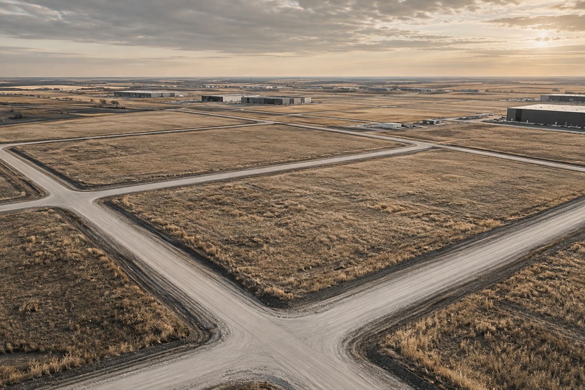
Subdivision and rezoning answer different questions. A land-use bylaw amendment can change the rules applied to land; subdivision approval can authorize a proposed parcel configuration subject to conditions; survey-plan registration creates the new legal parcels. Neither process alone confirms a buildable, serviced or financially feasible project.
This is general information, not legal, tax, environmental, engineering, accounting or investment advice. Obtain advice specific to the property and transaction.
1. Name the outcome precisely
Define whether the project needs a policy amendment, area plan, redistricting or rezoning, subdivision, consolidation, road closure, development permit, variance, building permit or several coordinated decisions. Ask the municipality which authority and application controls each step.
Do not use 'approved', 'zoned' or 'subdivided' without identifying the decision, bylaw or registered plan, date, conditions, appeal status and parcel scope.
- Policy
- Area plan
- Land-use district
- Subdivision
- Development permit
- Survey registration
- Building and occupancy
2. Start with the current planning hierarchy
Review the applicable regional plan, intermunicipal plan, municipal development plan, area structure or redevelopment plan and land-use bylaw. Identify whether the proposal is consistent, requires amendment or triggers a new planning document.
Alberta's Land-use Framework establishes regional context, while municipalities govern local planning subject to provincial legislation. A proposed future municipal document does not replace the currently effective record.
3. Understand the redistricting decision
A land-use bylaw amendment changes the district or site-specific rules only if council adopts the amending bylaw. Review application completeness, technical studies, circulation, public hearing, council readings, conditions in related agreements and effective date with the municipality.
Council support, first reading, administration recommendation or an advertised hearing is not final adoption. Even adopted zoning does not guarantee subdivision, development, servicing or building approval.
4. Build the subdivision application record
Confirm ownership authorization, legal description, proposed parcels, roads, reserves, utilities, access, water and wastewater, drainage, natural features, abandoned wells, adjacent uses and required plans or studies. Municipal checklists and referral requirements vary by site and proposal.
Alberta's current subdivision-appeal guidance identifies provincial-interest features and distances that can change the appeal forum. Search and map those constraints early rather than waiting for circulation.
5. Read every approval condition
Index survey, plan, agreement, reserve, access, road, utility, drainage, environmental, tax, fee, levy and endorsement conditions. Assign owner, evidence, cost, dependency and deadline to each condition.
Subdivision approval is not the new title. Conditions must be satisfied, the plan prepared by an Alberta Land Surveyor and the approved plan registered before new parcels and titles are created.
6. Distinguish decision, appeal and finality
Record how notice is given, who may appeal, the applicable forum and deadline, whether a stay or other consequence applies, and when the decision becomes effective. Obtain legal advice for standing, grounds, evidence and procedure.
Alberta states that most subdivision and development appeals are heard locally, with identified provincial-interest matters heard by the Land and Property Rights Tribunal. Do not assume the same forum or deadline applies to every decision.
7. Coordinate access, highways and provincial regulators
Determine whether a provincial highway, waterbody, historic resource, waste facility, wastewater plant, Green Area land or resource authorization creates a referral, permit, setback or appeal consequence. The municipality is not the only possible authority.
Alberta requires roadside-development approval within defined highway control zones, and AER Directive 079 addresses abandoned wells in subdivision and development planning. The project team should confirm current site-specific requirements.
8. Connect planning to servicing and agreements
A concept can satisfy land-use policy but remain undeliverable without roads, water, wastewater, stormwater, power, gas, telecommunications, grading and fire protection. Reconcile approval conditions with development agreements, levies, security and construction sequence.
Identify which infrastructure is existing, funded, approved, scheduled or conceptual. Do not represent an approved plan or subdivision as serviced land unless current capacity and delivery are supported.
9. Preserve the title-registration path
Have counsel and the Alberta Land Surveyor coordinate endorsement, plan preparation, signatures, consents, discharges, registrations and title issuance. Confirm expiry dates and whether interim dealings can complicate registration.
Alberta explains that registered subdivision plans can include roads, reserve land and public-utility parcels. Reconcile the registered result to the transaction perimeter and purchase-price adjustments before closing.
10. Price approval risk honestly
Model application, study, hearing, appeal, condition-satisfaction, agreement, construction and registration time using scenarios. Link every projected yield, cost and date to its assumptions and decision dependencies.
This guide is educational and is not legal, planning, subdivision, survey, engineering, environmental, tax, appraisal, financing or investment advice. The municipality, regulators, tribunals and Land Titles control their respective decisions and records.
Primary sources
Verify the current rules.
Government and regulator pages can change. These links were reviewed on August 26, 2026.
Alberta: Municipal planning and development documents↗Alberta: Land-use Framework↗Alberta: Subdivision and development appeals↗Alberta: Find land titles, documents or plans↗Alberta: Register a land title document or plan↗Alberta: Municipal planning referrals↗Alberta: Roadside development permits↗AER: Directive 079—surface development near abandoned wells↗Alberta Land Titles: Survey plans overview↗A real property decision?
Share the parcel, current district, intended project, application status and acquisition deadline.Who, how and why
Who: Commercially Research & Editorial.
How: Primary-source research and AI-assisted drafting were used to organize this guide around a practical commercial real estate decision. Source links, factual claims and material limitations were checked against Commercially's editorial standards on the review date.
Why: To help owners, buyers and tenants identify the records, questions and professional advice that belong in a real transaction work plan.
Editorial owner: Commercially Research & Editorial.
Commercial review: Slav Loban, Commercial Real Estate Division Leader.
Questions or corrections: hello@commercially.ca
Editorial review and correction standard →